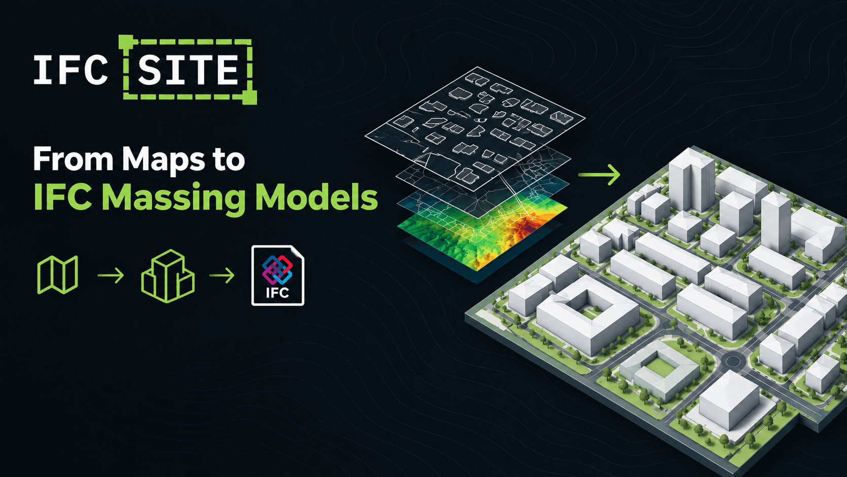
Every project starts with a site, and modelling that site is not straight very seamless. You track down footprints, guess heights, trace roads, fake the terrain, and then fight the coordinates so the model lands where it belongs.
IFC Site does that first pass for you. Draw a rectangle on a map and it pulls the buildings, roads, terrain and surrounding context from public datasets. It turns them into an LOD100 massing model, lets you adjust anything you like, and hands you an IFC file that opens in Revit, ArchiCAD, Blender/Bonsai, Blender/Bonsai or any IFC viewer.
It's free and open source. There's no account, no API key and nothing to upload. Everything runs in your browser.
From a map to an IFC file in four steps
- Find a place. Search for a street, town, postcode or
lat, lonpair, or just pan the map. - Draw the site. Click two opposite corners, or drag. Sites can be anywhere from 100 m to 2 km on a side.
- Build the model. A typical first build takes a few seconds. When it's done, a summary tells you what came back.
- Download the IFC.
That's the whole workflow. Everything else is optional.
Two data sources, one workflow
IFC Site works with two providers, and you choose which one per site.
- OpenStreetMap works worldwide. Building heights come from OSM tags where they exist and are estimated from storey counts or a fallback where they don't. Terrain comes from a global elevation mosaic.
- IGN Géoplateforme covers metropolitan France and goes further: surveyed heights on nearly every building (BD TOPO), terrain from a ~1 m elevation source (RGE ALTI), plus vegetation, hedges, water and cadastral parcels.
You can include buildings, road surfaces, railway tracks, a terrain mesh, individual trees, vegetation and hedges, water and cadastral parcels.
We'd rather you know than guess, so every build reports how many heights were measured and how many were estimated. If a layer fails, it's skipped and reported, and the rest of the build carries on. If terrain can't be fetched, the model sits on a flat datum and the build tells you so.
Make it yours before you export
A context model is rarely right out of the box, so IFC Site includes a small, focused editor:
- Move, rotate and scale any element with a gizmo (
G/R/S). - Recolour, fade or re-height a single element or a whole layer at once.
- Draw your own buildings, as boxes or polygon footprints, and plant trees.
- Measure distances and areas, with snapping to vertices, midpoints and edges.
- Undo and redo, 100 steps deep.
- Presentation mode flies a slow orbit with the whole site in frame, handy for a quick client walkthrough or a screen recording.
What the preview shows is exactly what gets exported. The viewport and the IFC use the same colours, so they can't drift apart.
Save your work, come back later
Your edits are worth keeping, so there are two ways to keep them:
- Save stores the site in your browser, listed by name, size and building count.
- Export writes a portable
.ifcsite.jsondraft you can back up or send to a colleague.
Either way, reopening a draft restores every edit: hand-drawn buildings, transforms, colours and the model origin. It doesn't touch the network at all. Keep the IFC for whoever needs the model, and the draft for when you need to change it.
Site origin and georeferencing
Every IFC Site model is built around a model origin, the point your exported file treats as (0, 0, 0). You can drag it anywhere on the site, and the file is re-georeferenced so nothing moves on the ground. You can also give that origin your project's own coordinates and rotate the axes to match your project grid, so the model drops straight into your existing setup. Behind the scenes, each export is written to LoGeoRef 50: the model stays in light local coordinates, and its real-world position is stored in IfcMapConversion and IfcProjectedCRS. The projected coordinate system is chosen automatically for wherever you draw, and you can override it. The file always includes latitude, longitude and elevation too, so even simpler IFC readers can place your site on the map.
Here's where each schema stores the georeferencing:
| Schema | Map conversion (LoGeoRef 50) | Where it's attached | Lat / Lon / Elevation (LoGeoRef 30) |
|---|---|---|---|
| IFC2X3 | ePset_MapConversion + ePset_ProjectedCRS | IfcSite (default), IfcProject, or both: your choice | IfcSite.RefLatitude / RefLongitude / RefElevation |
| IFC4 | IfcMapConversion + IfcProjectedCRS | The project's geometric representation context | Same |
| IFC4X3 | IfcMapConversion + IfcProjectedCRS | The project's geometric representation context | Same |
⚠️ If your project uses global coordinates for IFC exports — via shared coordinates export setting in Revit for example — giving object placements georeferenced X and Y values, you can check Match the global position above so that the exported site model matchs.
Model content
Here's what's in the file.
- Three schemas. IFC4 (the default), IFC2X3 for older tools, and the latest IFC4X3 for infrastructure work. Switching schema re-serialises the model already on screen. Nothing is re-fetched and no coordinate moves.
- Proper georeferencing. Files are written to LoGeoRef 50: the model sits at a local origin, and its projected position travels in
IfcMapConversion+IfcProjectedCRS. Under IFC2X3, the same values go out through theePset_MapConversionconvention.RefLatitude/RefLongitude/RefElevationare always written too, so even simple readers can place the site. - The right CRS, automatically. The projected coordinate system is picked for wherever you draw. You can override it from a list of the systems that are valid there.
- Your origin, your grid. Drag the model origin to where you want
(0, 0, 0), give it your project's coordinates, and rotate the axes to your project grid. The georeferencing stays correct. - Honest vertical datum. The vertical datum follows the elevation source: NGF-IGN69 for RGE ALTI and EGM96 for the global terrain.
What it is, and what it isn't
IFC Site produces LOD100 massing from open data. It is not a survey. Heights are surveyed where the source has them and estimated where it doesn't, and the build summary always shows that split. The map conversion uses a scale of 1.0, which is fine at these site sizes but not over several kilometres. Treat the output as a fast, well-placed starting point for early design, massing studies and context. It doesn't replace a topographic survey.
Built on open data, free to use
IFC Site stands on the shoulders of OpenStreetMap contributors, IGN Géoplateforme, Nominatim and AWS Terrain Tiles. Please respect their terms and keep your requests light.
The app is open source under GPL-3.0, available in English and French, with light and dark themes. The code lives at https://github.com/isma3lMB/IfcSite. Issues, ideas and pull requests are welcome.