PROJECTS
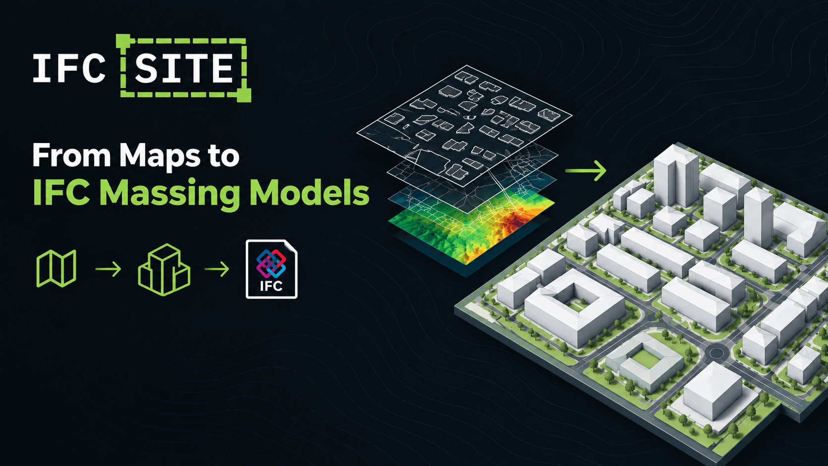
IFC Site: a georeferenced context model in seconds
IFCOPENBIMGEOREFERENCINGOPEN-SOURCEUse open cartographic data (IGN/OSM) to generate LOD100 massing models of the buildings, roads, terrain and surrounding context, exported as a georeferenced IFC file. Free, open source, runs in your browser.
View project→